Description
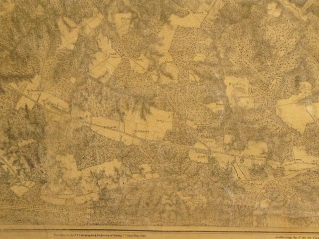
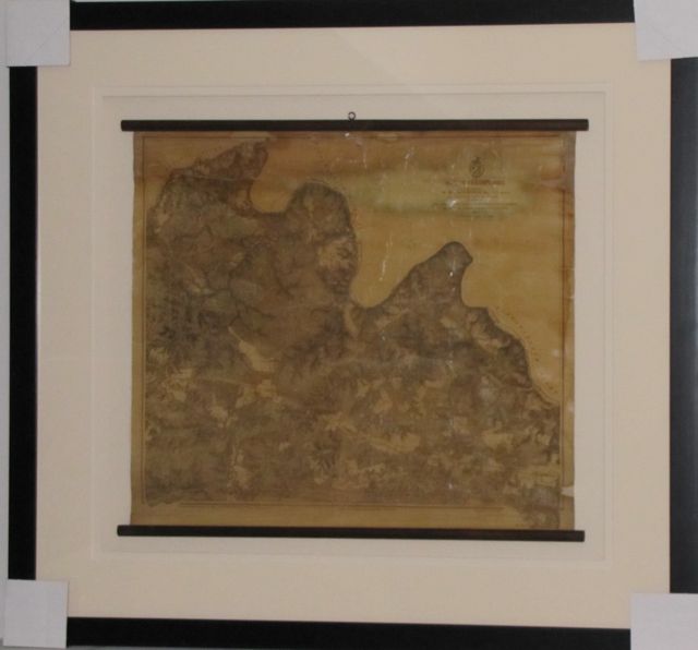
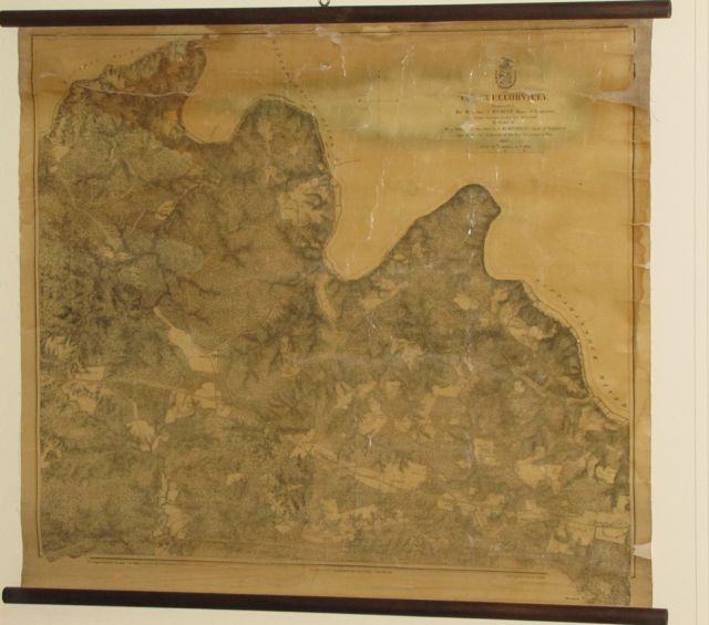
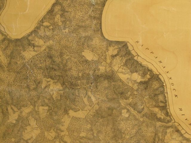
Rare authentic antique 1867 US Army Wall Map, Battle of Chancellorsville Which took place on: April 30-May 6, 1863 Hooker vs. Lee Printed at top right of map: Prepared by: Bvt. Brig General N. Michler Major of Engineers From surveys under the direction By Order of Bvt. Gen. A.A. Hunphrys Chief of Engineers And under the authority of The Honorable Secretary of War 1867 3 to 1 Mile Printed at bottom of map: Photolith by The NY Lithographing & Engraving & Printing Co. Julius Bien Supervisor Surveyed & drawn by Major J.E. Weys Assisted by F. Theilkuht, J. Strasser & G. Thompson Lettering by J. de la Camp Map size 25 x 23 with wood dowel at top & bottom Archival framing with UV acrylic, frame size: 37 x 40 #9485 Historical Americana Company

